![]()
HOME
Article
GPS Track & Elevation Profile
Google Earth file (kmz)
Photo Gallery
Video
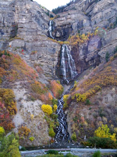
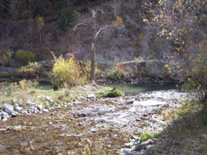
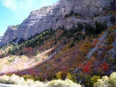
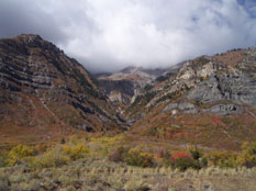
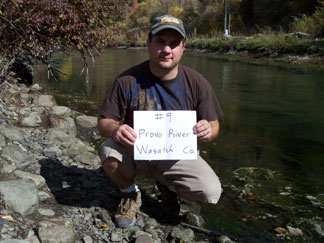
Provo River - Wasatch County - 5,235 ft. - Low-Point Rank: 25th
This was by far the quickest low point yet. The Provo River and the Wasatch County low point was about 40 feet from the highway and where we had parked the car. There was a storm coming in and the mountain peaks above us had disappeared into the clouds. We made a quick stop at Bridal Veil Falls and thought about taking the hike up to the base but it seemed everyone just wanted to get home, knowing we still had 3 hours to drive. Bridal Veil Falls is a 607 foot double cataract waterfall and was pretty impressive. We’ll have to get closer next time. We had successfully logged 6 County low points this trip, bringing our overall total to 9. Only 20 more to go. 20 more adventures.