![]()
HOME
Article
GPS Track & Elevation Profile
Google Earth file (kmz)
Photo Gallery
Video
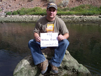
Weber River - Summit County - 4,669 ft. - Low-Point Rank: 26th
|
|
HOME |
Article |
||
GPS Track & Elevation Profile |
||
Google Earth file (kmz) |
||
Photo Gallery |
||
Video |
||
Weber River - Summit County - 4,669 ft. - Low-Point Rank: 26th |
||
© 2010-2014 www.skyhighutah.com - all rights reserved | Contact Webmaster |