![]()
HOME
Article
GPS Track & Elevation Profile
Google Earth file (kmz)
Photo Gallery
Video
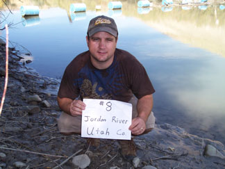
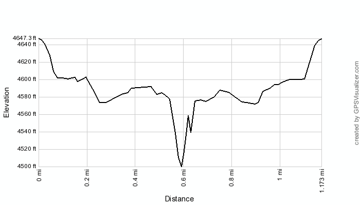
Jordan River - Utah County - 4,475 ft. - Low-Point Rank: 18th
Time: 00:53:40
Elev. loss: 211 feet
|
|
HOME |
Article |
||
GPS Track & Elevation Profile |
||
Google Earth file (kmz) |
||
Photo Gallery |
||
Video |
||
Jordan River - Utah County - 4,475 ft. - Low-Point Rank: 18th |
Distance: 1.17 miles Time: 00:53:40 Elev. loss: 211 feet |
|
This map was created using GPS Visualizer's do-it-yourself geographic utilities.
Please wait while the map data loads...
© 2010-2014 www.skyhighutah.com - all rights reserved | Contact Webmaster |